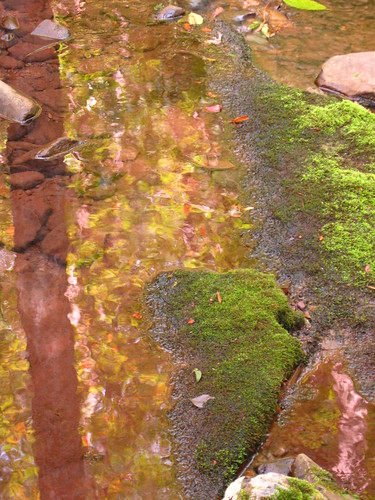
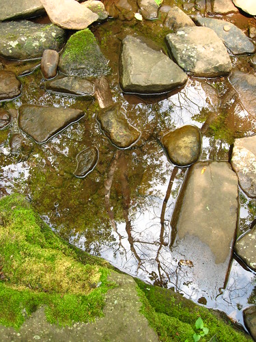
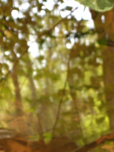
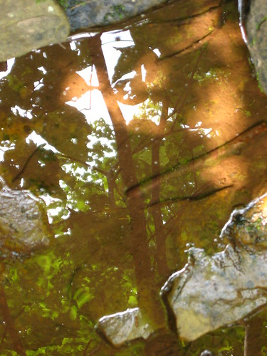
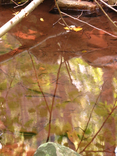
Falls Hollow, pictures taken in September of this year.
...and a Rugged Hike Awaits as Well
One of my favorite places to hike is the trail up Elliott's Knob [or Elliott Knob]. I'm pretty sure I saw it as Elliott's on a Jedediah Hotchkiss map so I'm sticking with it. The trail makes its way up Falls Hollow along this little stream.
Here are More Pictures [click to view] taken along the trail up Elliott's Knob.
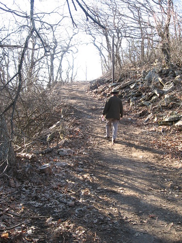
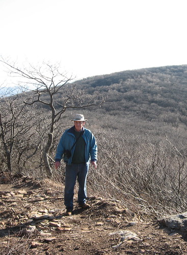
Coming out of Falls Hollow, hikers find a rugged mountain road to the top.
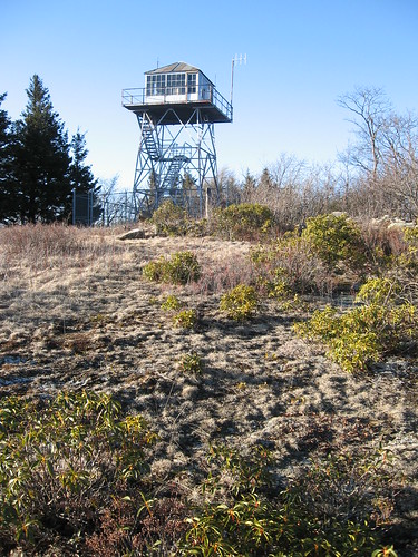
Abandoned fire tower at the summit.
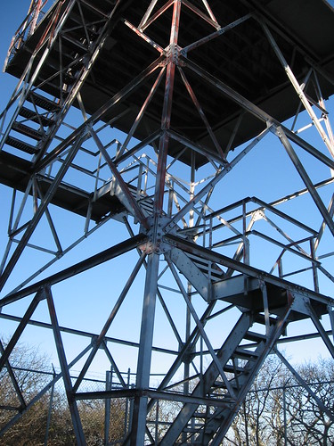
Looking up at the fire tower.
Almost to the top, where a view awaits...
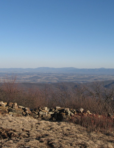
...of the Valley and the Blue Ridge Mountains in the distance.
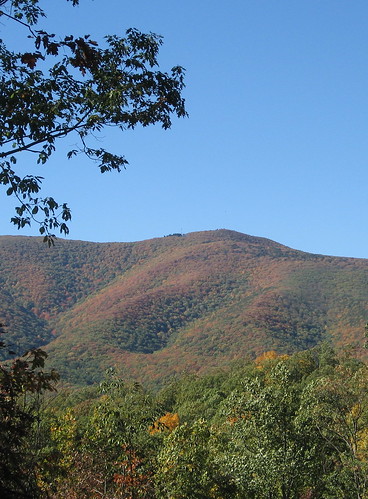
Elliott's Knob as seen from Little North Mountain.
No comments:
Post a Comment