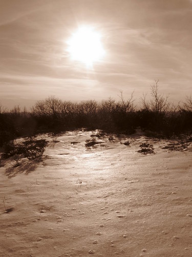
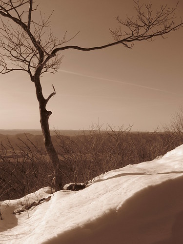
The wind-blown snow at the summit of Elliott's Knob looks like a coastal scene.
The sunlight on Saturday morning illuminated the snow on the mountains, beckoning the hearty to hike them. Elliott's Knob called from the West, and I was in the mood for adventure. Driving along route 42 the snow was deep enough to make me wonder if there would be a place to pull off of the road (and get out again).
The forest service road had been packed down enough to allow for a bit of artful maneuvering into a safe spot. One set of boot prints led up the trail to Falls Hollow and I followed them.
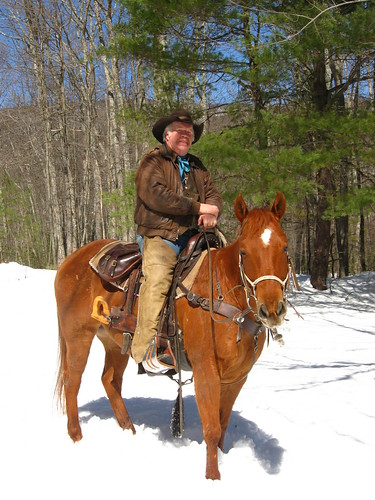
Dwight Wood of North Mountain Outfitter on the trail.
Approaching the falls through the clearings at the base of the mountain, I met Dwight Wood, who owns North Mountain Outfitter [click to read] leading a trail ride. The sight of horses in the snowy wood was the beginning of a magical journey. Mr. Wood, I discovered, enjoys the Narnia tales of C. S. Lewis just as I do. Truly this was going to be a day to behold wonders.
The other pair of bootprints stopped were I met the riders. The other hiker had tramped around in the deep snow and must have decided not to attempt Falls Hollow. He had walked out on another road. I would press on through the unbroken snow alone!
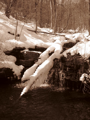
The cascading creek in Falls Hollow...
There were now no footprints to guide... only the little creek, merrily making its way down the hollow, and my memory of where the trail was from previous trips.
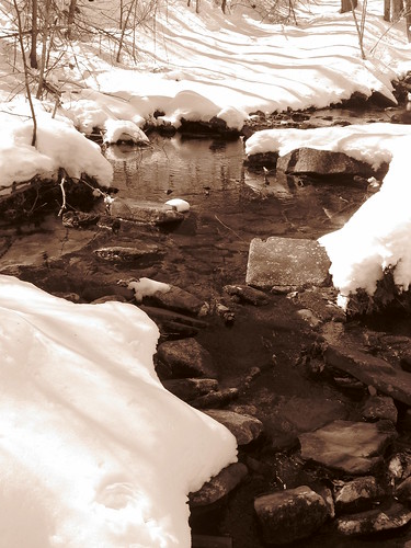
...led deeper into a magical hollow...
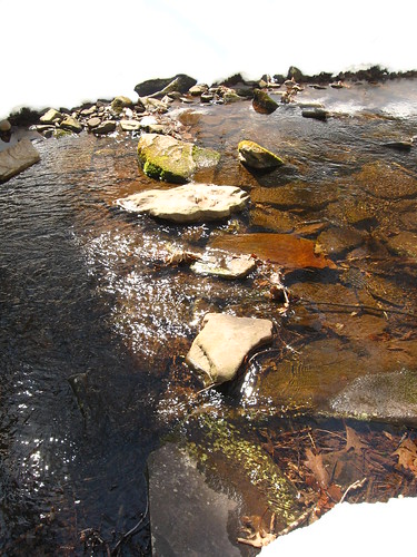
...and sometimes gave hints of where the trail lay.
Now the trail left the creek and rose through a laurel thicket. This is a place I love to come to in early Summer when it is abloom. Now the green laurel leaves made for a happy walk in the snow. A light indentation in the snowy hillside indicated trail.
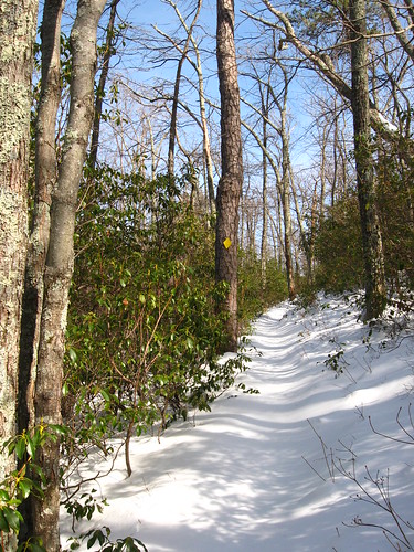
Laurel along the trail leaving Falls Hollow.
Rising through the laurel, I eventually reached the road that takes you to the top. It was growing late, but I saw some tracks going up the road towards the summit and decided to go for it anyway!
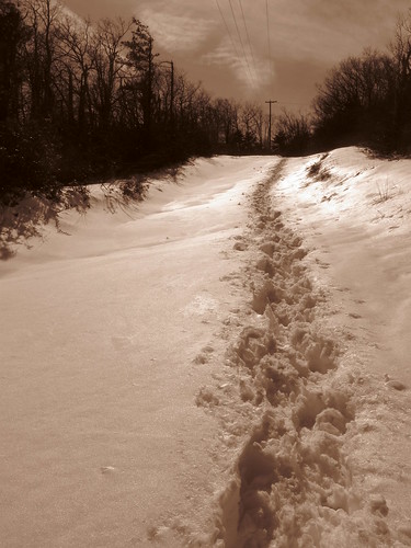
The road to the top.

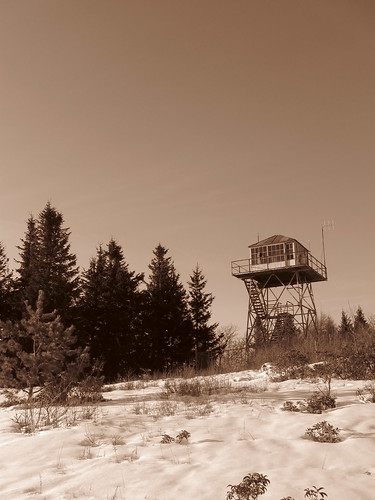
The fire tower at the summit.
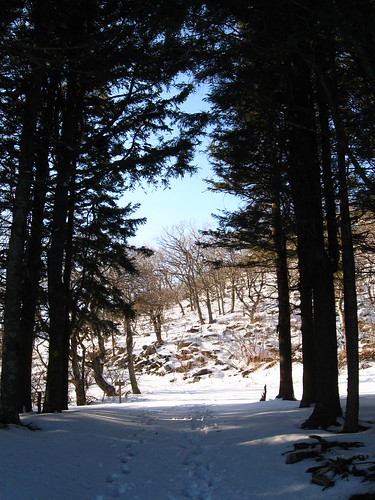
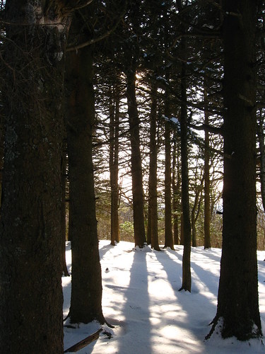
The road to the top eventually takes you to a fir forest reminiscent of the Narnian wardrobe passing from Spare Oom into the Lantern Wastes! High drifts filled the trail the last little bit as it approached the summit.
It was five o'clock when I reached the top... way past my planned "turn around time," so I bounded down the snowy road in order to reach route 42 before darkness overtook me.
Beautiful photos and what an adventure, Bob Kirchman! Thanks for sharing....
ReplyDeleteThank you, Lynn.
ReplyDelete